

According to media reports, in a development that has caused reactions in the region, a map has been published that relates to Israel's presence and military operations in Lebanese territory. The map has sparked debate, as it relates to claims of areas under control or occupied by Israeli forces.
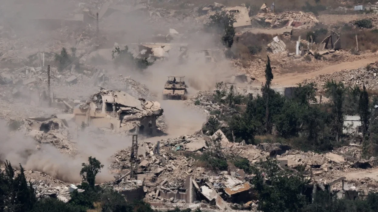
Reports indicate that Israeli forces have expanded operations in southern Lebanon, taking up strategic positions near the border and justifying the actions with the need to ensure the security of communities in northern Israel and to prevent attacks by Hezbollah.
According to Israeli authorities, these areas are considered security measures and part of efforts to create a protective space along the border.
While Lebanese authorities and critics of Israel see these actions as a violation of Lebanon's sovereignty and an expansion of military control over Lebanese territory.
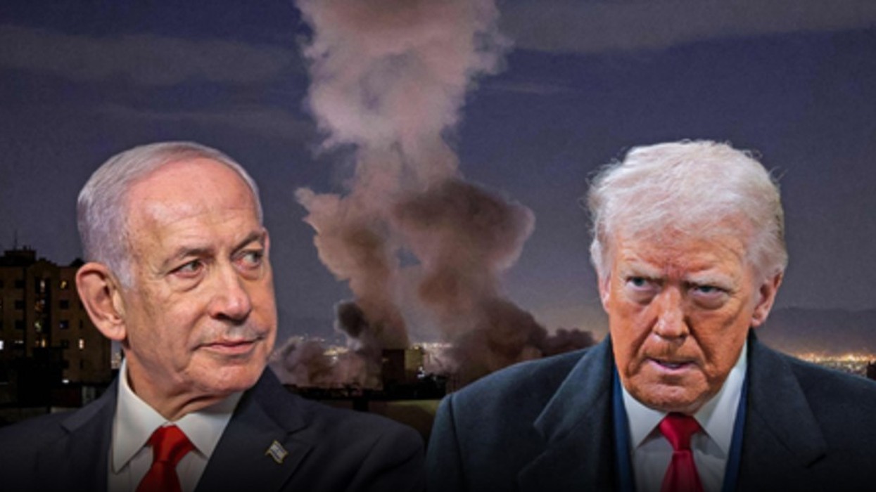
Tensions between Israel and Hezbollah have risen sharply following exchanges of attacks and military operations. Israel has carried out airstrikes and ground operations against targets it considers to be Hezbollah infrastructure, while the Lebanese group has carried out rocket and drone attacks on Israel.

The situation has also caused large-scale population displacement in border areas. Various reports have highlighted that military operations in southern Lebanon have forced many residents to flee their homes.
The publication of the map comes at a time when international debate continues over the Israeli military presence on Lebanese territory and fears that the conflict could turn into a wider regional confrontation. /Telegraph/